The product
UCM3D is a SoBuild product that brings mapping, business data and projects together in one desktop environment.
Professional experience · SoBuild
Professional geospatial desktop software
A SoBuild product for visualising, enriching and working with geospatial data in a Windows environment.
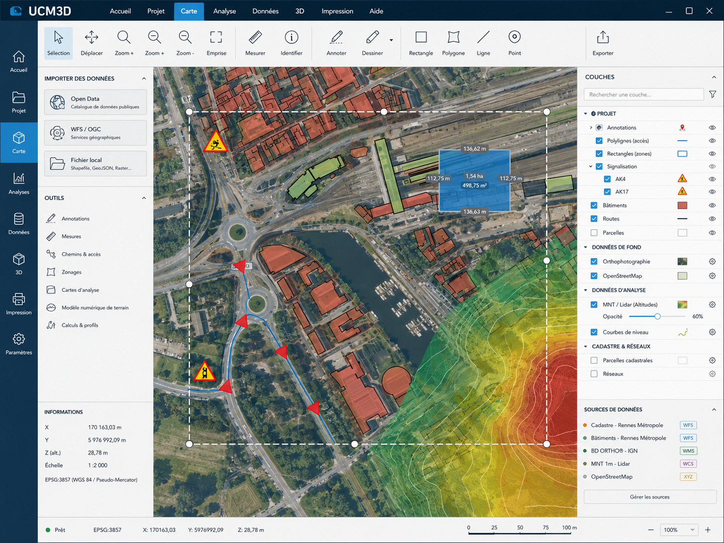
Stylized illustration based on UCM3D’s real interface and use cases.
Overview
UCM3D is a SoBuild product that brings mapping, business data and projects together in one desktop environment.
I contribute to the development, maintenance and evolution of UCM3D at SoBuild.
Capabilities
Create, edit and organise objects and annotations on the map.
Access and work with different sources of mapping data.
Use geospatial formats suited to the project data.
Work with DEMs and elevation data in their mapping context.
Prepare data for export and use in other tools.
Add, browse and use WFS layers within the project context.
01
Combine aerial imagery, buildings and WFS layers to build a clear view of the surrounding territory.
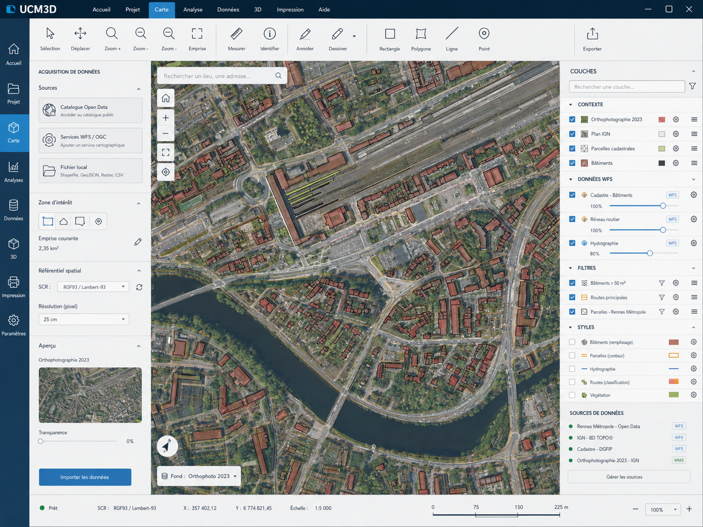 Urban context & WFS
02
Draw, annotate and manipulate the objects required to prepare a project.
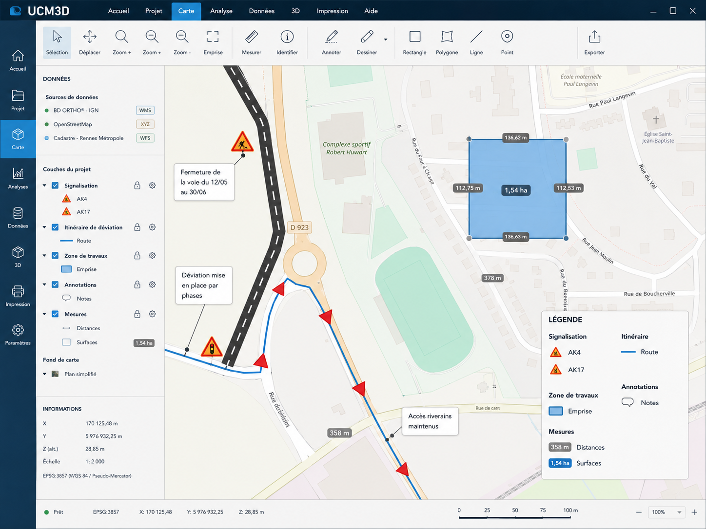 Drawing & business data
03
Combine DEMs, elevation data and mapping context to prepare project deliverables.
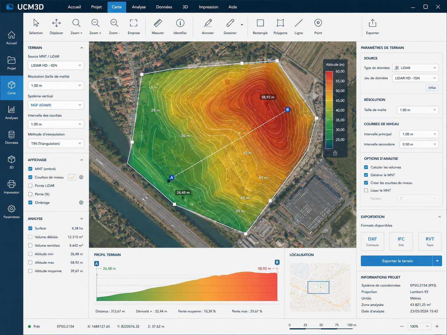 Terrain & export
Interoperability
Mapping services and geospatial formats supported within UCM3D projects.
Technologies
Core technologies used in the development and evolution of the product.